Queensland Severe Thunderstorms Bring Damaging Winds and Hail Warnings
Queensland severe thunderstorms are expected to affect parts of the southeast again on Thursday, November 12, following a damaging storm outbreak that left thousands of homes without electricity. Brisbane, Logan and coastal communities face another risk of large hail, powerful wind gusts and heavy rainfall that could trigger flash flooding.
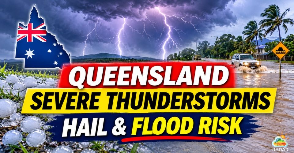
Queensland severe thunderstorms
Queensland Severe Thunderstorms Threaten Southeast Areas
South-east Queensland is dealing with a major clean-up after powerful thunderstorms swept through the region on Wednesday, November 11.
The storms brought down trees, damaged homes and disrupted electricity supplies across several communities.
Logan recorded some of the most significant impacts, with around 49,000 properties still without power early Thursday morning.
Across the wider region, approximately 55,000 homes remained without electricity as Energex crews worked to repair damaged power poles and fallen powerlines.
The storm damage extended beyond power outages. Strong winds tore roofs from residential buildings, while fallen trees blocked roads and damaged vehicles.
Some areas also recorded between 50 and 80 mm of rain in just 30 minutes, increasing the risk of localised flooding.
Emergency crews received more than 320 requests for assistance, many involving fallen trees and damaged properties.
More than 120,000 lightning strikes were also recorded during Wednesday's storm activity.
The disruption continued into Thursday, with 11 schools in the Logan area closed while authorities assessed conditions and carried out repairs.
Recovery efforts may take time, particularly where extensive damage to electricity infrastructure requires replacement rather than simple repairs.
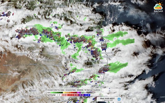
Satellite showing intense lightning activity and severe thunderstorms sweeping across southern Queensland on November 11, 2026 (Photo: Weatherzone)
More Thunderstorms Expected Across Southeast Queensland
Despite Wednesday's destructive weather, the storm threat is expected to continue across eastern Australia.
The Bureau of Meteorology warned that another round of severe thunderstorms could develop on Thursday afternoon and evening.
The highest risk is across southeast Queensland and northeast New South Wales, particularly inland areas where warm, humid air and converging winds could help trigger storm development.
Coastal communities may also experience storms as cells move towards the coast.
Areas being monitored include Brisbane, the Gold Coast, Sunshine Coast, Bundaberg, Hervey Bay and the Darling Downs.
Further south, parts of the Northern Rivers, Northern Tablelands and Mid North Coast in NSW could also experience severe weather.
The main threats include large or giant hailstones, damaging wind gusts and intense rainfall.
Heavy downpours may cause flash flooding, especially in low-lying areas and locations already affected by recent rainfall.
Weatherzone's forecast analysis suggests that atmospheric instability could reach CAPE values of around 2,500–3,500 J/kg across parts of southeast Queensland and northeast NSW.
Such conditions can support intense thunderstorms and potentially supercells, although they do not guarantee that severe storms will form.
Storm activity may ease on Friday before strengthening again over the weekend as another surface trough develops across inland Queensland.
Showers and thunderstorms could continue across parts of Queensland and NSW through Monday, November 16.
Residents should keep checking local forecasts and official warnings as storm conditions can change quickly.
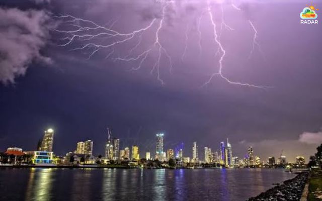
Storm threat is expected to continue across eastern Australia
Track developing storm cells and rainfall activity with GoWeatherRadar.
Use precipitation and wind radar layers to monitor approaching storms and changing weather conditions across Queensland.
Practical Safety Tips for Queensland Residents
-
Stay indoors: Seek shelter in a sturdy building and keep away from windows during severe storms.
-
Protect your property: Move vehicles under cover, secure outdoor furniture and stay away from large trees.
-
Prepare for outages: Charge mobile phones and power banks, and keep essential supplies within reach.
-
Avoid floodwater: Never drive, walk or ride through flooded roads or overflowing waterways.
-
Stay informed: Follow Bureau of Meteorology warnings and emergency service instructions.
References
-
Weatherzone
-
News24
-
9 News Melbourne
-
News.com.au




0 Comments
Leave a Comment
Your email address will not be published. Required fields are marked *