Latest Nor'easter Forecast: What to Expect as Storm Targets the Northeast
A developing storm system could bring heavy rain, wet snow and gusty winds to the Northeast from Thursday, November 12, through Saturday, November 14. The latest nor'easter forecast points to mostly rainy conditions in major cities, while higher elevations could see the first accumulating snow of the season. Colder air will follow, bringing the region a sharp drop in temperatures.
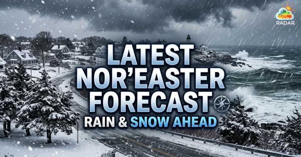
Latest Nor’easter forecast
Latest Nor’easter Forecast: Key Takeaways
-
A developing storm could bring widespread rain to the Northeast from Thursday, November 12, through Saturday, November 14.
-
Major cities, including New York City, Philadelphia and Boston, are expected to see mainly rain.
-
Higher elevations in the Adirondacks, Green Mountains, and Berkshires could receive up to 6 inches of wet snow locally.
When Will the Northeast Storm Arrive and Move Out?
A developing low-pressure system crossing the central United States is expected to move toward the East Coast later this week.
Its approach will bring several rounds of precipitation to the Northeast, with the most unsettled conditions expected from Thursday into Friday.
The storm's development and movement will determine how much rain and snow different communities receive.
Current forecasts indicate the following timeline:
-
Wednesday, November 11
Mild weather holds across much of the Northeast, though showers could reach some areas late in the day.
-
Thursday, November 12
Rain spreads across New England and the Mid-Atlantic, becoming more persistent during the afternoon and evening.
-
Friday, November 13
The system approaches the coast and strengthens offshore. Rain continues in lower elevations, while colder areas could see a rain-to-snow transition.
-
Saturday, November 14
The storm moves farther away, allowing precipitation to ease. Gusty winds and colder temperatures remain behind the system.
New England could experience several consecutive days of wet weather, increasing the potential for water-covered roads and travel disruptions.
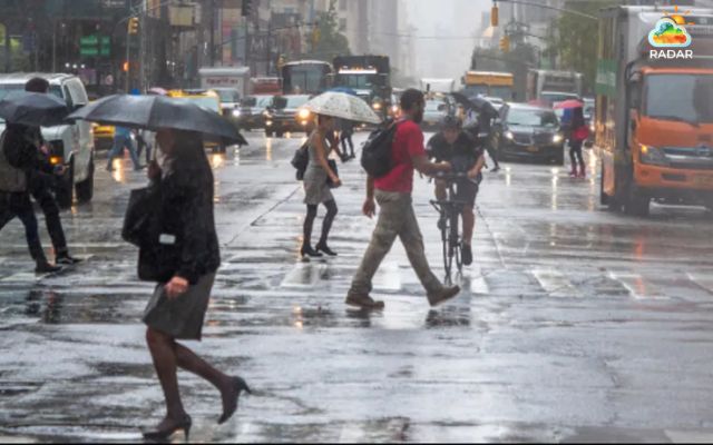
Rain will spread across the Northeast before colder, blustery conditions arrive this weekend
Check live precipitation movement, storm coverage and rainfall patterns on Radar Map to follow changing conditions across the area.
Which Northeast Areas Could See the Most Rain and Snow?
The storm is expected to produce different weather conditions depending on elevation and proximity to the coast.
Warmer air near the Atlantic should keep precipitation mainly in liquid form across major metropolitan areas.
New York City, Philadelphia, Washington, D.C., and Boston are forecast to receive mostly rain.
Across the Tri-State Area, rainfall could total 0.5–1.5 inches, with isolated amounts approaching 2 inches.
Higher elevations have a better chance of seeing accumulating snow.
Current snowfall projections include:
|
Area |
Possible snowfall |
|
Poconos and northwestern Ulster County |
Trace–1 inch |
|
Catskills and higher elevations of Sullivan and Ulster counties |
1–3 inches |
|
Adirondacks, Green Mountains and Berkshires |
Locally up to 6 inches |
Parts of northern Pennsylvania and West Virginia could also experience wet snow.
However, relatively warm ground temperatures may limit accumulation, especially at lower elevations.
Coastal communities could face periods of stronger northeast winds and minor coastal flooding.
A shift toward a more coastal storm track could increase these risks, although widespread damaging winds and major coastal flooding are not the leading forecast scenario.
Rain could also affect road conditions and flight schedules across busy Northeast transportation corridors.
In higher terrain, heavy, wet snow may weigh on tree branches and create isolated power outages.
Read more: Northeast snow storm
First Seasonal Freeze Possible as Colder Air Spreads East
The storm will be followed by a significant change in temperatures as the jet stream dips southward, allowing colder air to spread across the eastern United States.
Some locations could see daytime temperatures fall by approximately 20°F between Wednesday and Friday.
This cooling trend will extend beyond the Northeast, reaching areas from the Great Lakes toward the Southeast.
By Saturday, chilly air and gusty winds could make outdoor conditions feel considerably colder.
Temperatures in parts of the New York City region are expected to remain in the 40s, while wind chills may drop into the 30s.
The colder pattern could also trigger lake-effect precipitation downwind of the Great Lakes.
Some inland communities may experience their first accumulating snowfall of the season, while millions of people across the eastern U.S. face the possibility of their first widespread frost and freeze.
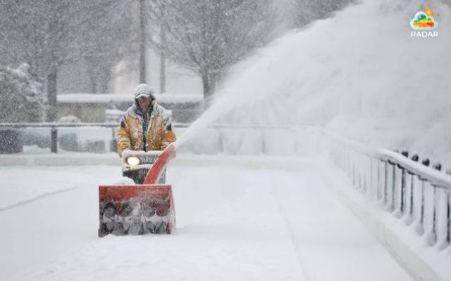
A surge of colder air could bring the first frost and freeze of the season across the US
Despite the winter-like conditions, forecasters caution that this system may not qualify as a classic nor'easter.
Forecasters expect the storm to spend much of its journey inland, limiting the sustained onshore winds typically associated with these coastal systems.
The storm track, snowfall amounts, and coastal impacts could still change as the system develops.
Northeast residents should follow local weather alerts and updated forecasts, particularly those in elevated and coastal areas.
References
-
FOX Weather
-
The Weather Channel
-
ABC7 Eyewitness News



0 Comments
Leave a Comment
Your email address will not be published. Required fields are marked *