New Mexico Tornado Watch Issued Amid Rare October Severe Weather Threat
A rare New Mexico tornado watch placed six western counties on alert Thursday, October 22, 2026, as severe thunderstorms threatened the region. Forecasters warned of possible tornadoes, damaging winds and large hail, while intense rainfall raised concerns about flash flooding. Here’s the latest update.
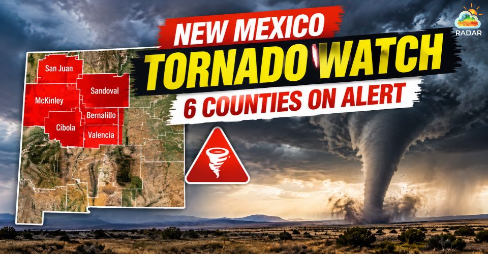
Rare New Mexico tornado watch
Areas Affected by the New Mexico Tornado Watch
The Tornado Watch covered San Juan, Catron, Cibola, Grant, Hidalgo and McKinley counties. Communities in the affected area included Farmington, Gallup, Grants, Silver City, Lordsburg and Zuni Pueblo.
The alert was initially expected to remain in effect through Thursday evening.
The Storm Prediction Center warned that storms developing in and near the watch area could produce tornadoes, large hail and damaging wind gusts.
Reports show that New Mexico had not issued a Tornado Watch in 28 years.
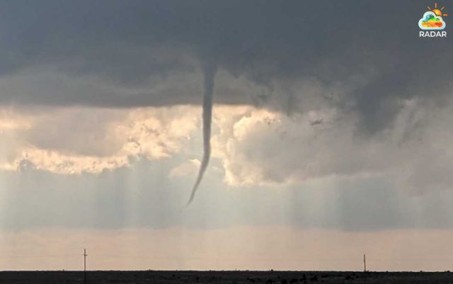
Tornado watch issued for parts of Western New Mexico
Separate from the broader watch, the National Weather Service issued a Tornado Warning for Sandoval, Cibola and McKinley counties on Thursday afternoon.
Radar indicated a severe thunderstorm capable of producing a tornado near Cebolletita, north of Laguna Pueblo, moving northeast at 40 mph.
That warning was scheduled to expire at 3:15 p.m. MDT.
A Tornado Watch means conditions are favorable for tornadoes, while a Tornado Warning signals a more immediate threat.
Residents should take shelter promptly when a warning affects their location.
|
Key Difference |
Tornado Watch |
Tornado Warning |
|
Weather conditions |
The atmosphere could support tornado development. |
A tornado has been observed or detected by radar. |
|
When it is issued |
When conditions favor possible tornadoes across an area. |
When a tornado threat becomes imminent or is confirmed. |
|
Your priority |
Stay alert and prepare to take cover. |
Take cover immediately. |
|
Typical duration |
Often lasts several hours. |
Usually remains active for a shorter, specific period. |
|
Example |
Severe storms may produce tornadoes in western New Mexico. |
A tornado is detected near your community; seek shelter now. |
For a closer look at storm movement and precipitation around Farmington, check the live weather radar on GoWeatherRadar to track approaching rain bands and changing conditions.
Tornadoes, Hail and Flooding Threatened the Region
Western New Mexico faced several weather hazards as a strong Pacific storm system brought deep moisture into the Southwest.
Thunderstorms could produce large hail and damaging winds, potentially affecting vehicles, trees, roofs and power lines.
Although tornadoes were possible, the overall threat also included dangerous non-tornadic storms.
According to local forecasts and National Weather Service updates, flash flooding was possible in western New Mexico on Thursday, with the threat spreading toward central areas overnight and into Friday.
Additional storms and heavy rain were also expected across parts of the state over the weekend.
Repeated downpours could cause water to rise quickly in low-lying areas, drainage channels and small streams.
Rainfall could also increase river levels, including along the San Juan and Animas rivers, according to the National Weather Service.
|
Tornado Safety Tips
|
References
-
FOX Weather
-
KOB
-
KOAT




0 Comments
Leave a Comment
Your email address will not be published. Required fields are marked *