Florida Subtropical Storm Kyle Draws Watch as Coastal Risks Rise
A potential Florida subtropical storm Kyle is drawing attention as a developing Atlantic disturbance approaches the Southeast coastline. Although the system has not yet become a named storm, it could strengthen into Subtropical Storm Kyle over the weekend. Meanwhile, ongoing rainfall and rising coastal waters are creating additional concerns for Florida residents.
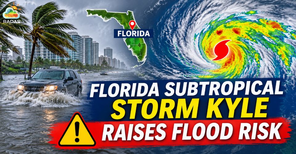
Florida subtropical storm Kyle
Atlantic Disturbance Could Become Florida Subtropical Storm
The National Hurricane Center (NHC) is tracking a broad low-pressure area expected to develop near the northwestern Bahamas on Friday, November 20.
The disturbance could gradually gain subtropical or tropical characteristics as it moves northward or northeastward along the Southeast coast.
In its November 19 outlook, the NHC estimated a 60% chance of tropical or subtropical development within seven days.
If the system meets the required criteria, it would receive the name Kyle. However, its eventual intensity and movement remain uncertain.
The nearby Gulf Stream could provide favorable ocean conditions for further development.
Current forecasts suggest the disturbance may travel offshore of Florida and Georgia before approaching the Carolinas.
Regardless of whether it becomes a named storm, the system could generate unsettled weather across a broad coastal area.
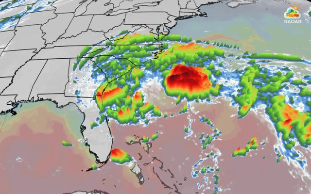
A subtropical storm could form off Florida (Photo: The Weather Channel)
Persistent Downpours Increase Flood Concerns Across Florida
The developing Atlantic system comes as several Florida communities continue to recover from significant rainfall and flooding.
Parts of South Florida received nearly 17 inches of rain over 48 hours, with the Fort Lauderdale area experiencing particularly severe impacts.
Floodwaters have affected homes, roads, and public services. Farther north, communities in Brevard County have also faced rising water levels, with some roads and properties inundated.
The St. Johns River near Cocoa climbed above its previous record flood level, highlighting the seriousness of the situation.
Additional rainfall could make recovery more difficult, especially where the ground is already saturated.
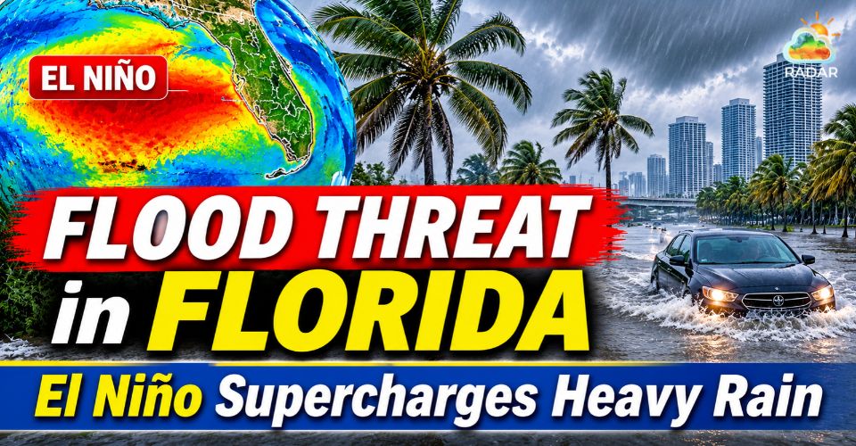
Continue reading: Flood threat in Florida
The Weather Prediction Center highlighted parts of east-central Florida, including Brevard and Volusia counties, as areas facing a High Risk of excessive rainfall on Friday.
Coastal flooding is another concern. Strong onshore winds can push seawater toward the shoreline, while high tides may worsen flooding in vulnerable coastal neighborhoods.
Rough ocean conditions could also accelerate beach erosion.
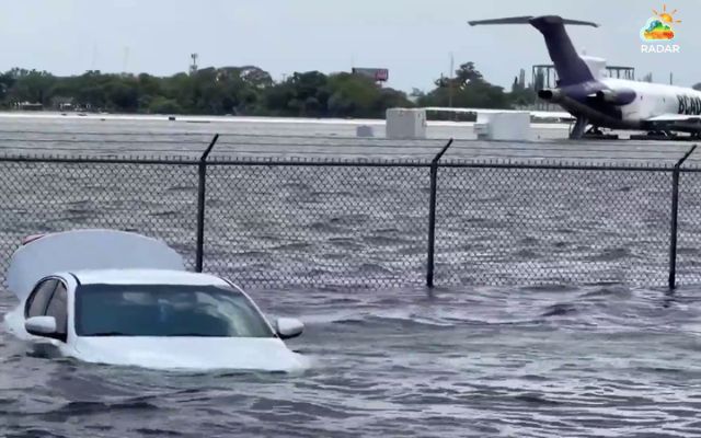
Fort Lauderdale airport shut down due to severe flooding (Photo: NBC News)
Track the latest precipitation radar around Melbourne, Florida, on RadarMap to follow incoming rain bands and identify areas experiencing persistent rainfall.
Southeast Coast Braces for Rough Surf and Potential Storm
The disturbance could influence weather conditions beyond Florida as it moves closer to the Carolinas.
Georgia and North Carolina may experience periods of heavy rain, gusty winds, and increasingly hazardous ocean conditions during the weekend.
Large swells and powerful rip currents are particular concerns for beach communities.
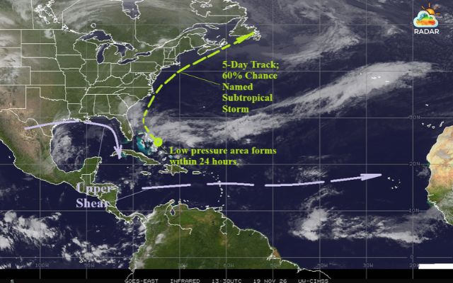
Weather satellite shows view of the North Atlantic (Photo: Climate Impact Company)
Recent coastal forecasts have highlighted waves reaching around 8–12 feet near parts of Florida's Atlantic shoreline, with dangerous surf potentially extending northward.
The exact impacts will depend on how close the system tracks to land and how much strength it gains.
A closer Florida subtropical storm approach could increase coastal wind and rainfall impacts, while a more distant track may keep the strongest conditions offshore.
Even without direct landfall, rough seas could disrupt boating, fishing, and other marine activities.
Beachgoers should avoid entering rough waters and pay attention to local beach warnings. Residents in coastal communities should also prepare for possible flooding and changing wind conditions.
The NHC continues to monitor the Atlantic disturbance as it develops.
Residents across Florida and the Southeast should follow official forecasts for updates on its formation potential, movement, and possible coastal impacts.
References
-
FOX Weather
-
Yale Climate Connections
-
WXII-TV
-
Peradaban
-
Naples News




0 Comments
Leave a Comment
Your email address will not be published. Required fields are marked *