Live Weather Radar for Driving: Complete Highway Safety Guide
Finding a reliable weather radar for driving is essential to stay ahead of sudden downpours and severe storms. Backed by meteorological data and feedback from long-haul drivers, this guide reveals the top-rated radar tools to track real-time storms along your route and keep your road trip completely safe. Read on to discover the reliable radar solution for your next drive!
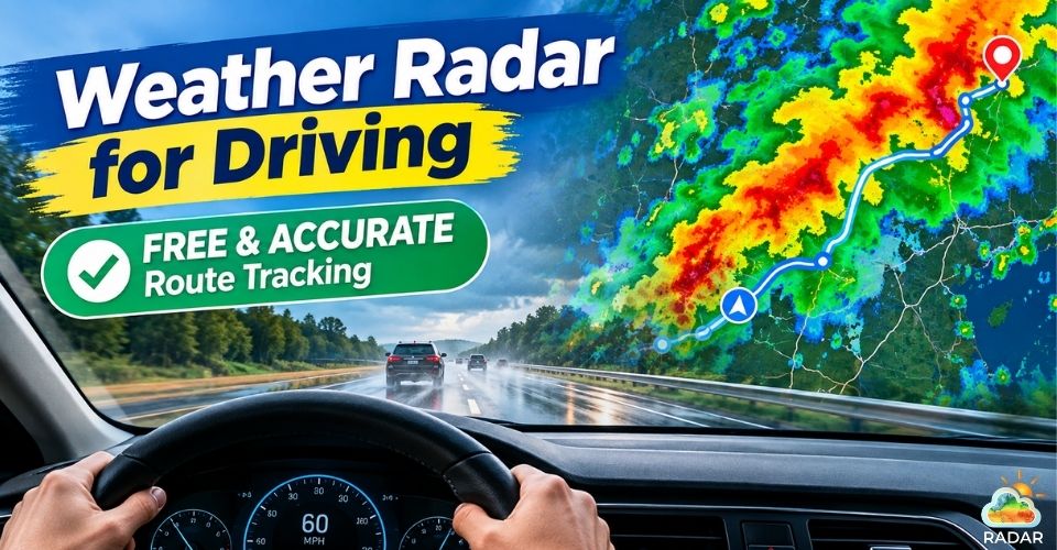
Weather radar for driving helps you stay ahead of sudden weather changes
Why You Need a Live Weather Radar for Driving
Hitting the open road always comes with a bit of uncertainty, especially when the weather takes a sudden turn.
Standard daily forecasts tell you if it might rain somewhere in your city, but they fall short when you are moving down a highway at 60 miles per hour.
A live weather radar acts as your co-pilot, letting you visualize exactly where storm cells, heavy downpours, or snow squalls are heading in real time.
With a weather radar for driving, you can track the storm’s movement live. This gives you the foresight to adjust your speed, find a safe rest stop, or reroute before hitting dangerous road conditions.
Ultimately, checking live radar is a simple habit that significantly lowers your risk of weather-related accidents.
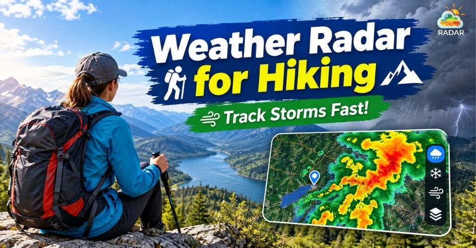
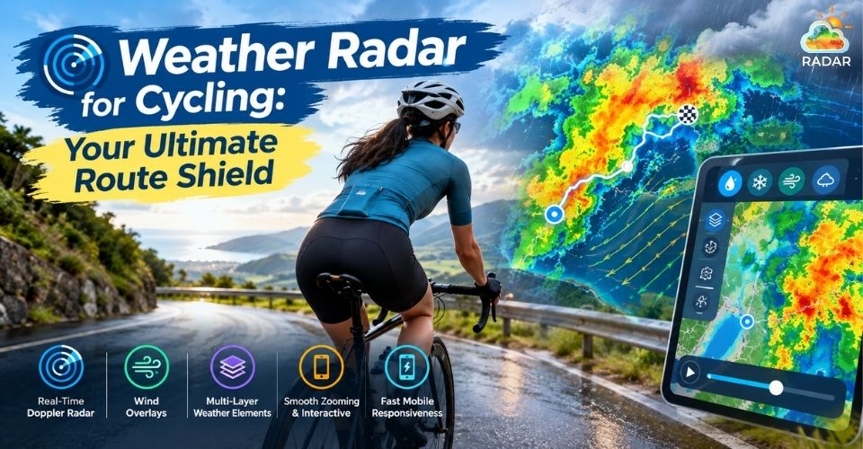
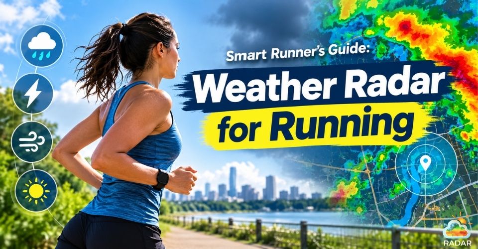
Explore more weather radar application in real-life activities here!
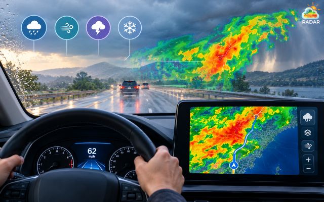
A live weather radar helps you visualize exactly where storm cells are in real time
Essential Features of a Reliable Driving Weather Radar
Not all weather maps are built for the road.
When you are planning a trip or checking conditions before getting behind the wheel, a good driving radar needs to deliver clear information in seconds.
Here are the core features you should look for:
|
Essential Feature |
What It Does & Why It Matters for Drivers |
|
Real-Time Precipitation Radar |
Displays live animation loops of rain, snow, and hail to help you spot oncoming storms immediately. |
|
Multi-Layer Map Overlays |
Allows quick toggling between rain intensity, wind gusts, temperature drops, and cloud cover on a single view. |
|
High-Accuracy Forecast Models |
Uses trusted global meteorological models (like ECMWF or GFS) to deliver reliable data for long-distance routes. |
|
Fast, Mobile-Friendly Interface |
Loads cleanly and rapidly on smartphone browsers without slow loading times or annoying paywalls. |
|
Interactive Zoom & Route Tracking |
Enables smooth panning and zooming to inspect specific highway stretches and local storm movements in detail. |
GoWeatherRadar: Reliable Weather Radar for Driving
When you are on the road, you need instant weather updates without navigating clunky menus or dealing with paid apps.
That is what makes GoWeatherRadar an ideal companion for drivers and road trippers.
Built on the high-precision ECMWF global forecast model (9km resolution), it delivers accurate, real-time tracking for storms, rain, wind, and severe weather fronts.
The platform offers several key advantages for anyone behind the wheel:
-
100% Free Access: You get full interactive radar features directly on your browser without behind-the-curtain subscription fees or intrusive paywalls.
-
All-in-One Multi-Layer Map: Easily toggle between live precipitation, wind gusts, temperature, snow cover, and atmospheric pressure on a single interface.
-
Fast & Mobile-Friendly: Loads quickly on smartphones or mobile screens, helping you check highway conditions without delay.
-
Customizable Measurement Units: Set your preferred units for temperature (°C/°F), wind speed (mph, km/h), and precipitation (mm, in) with a quick click.
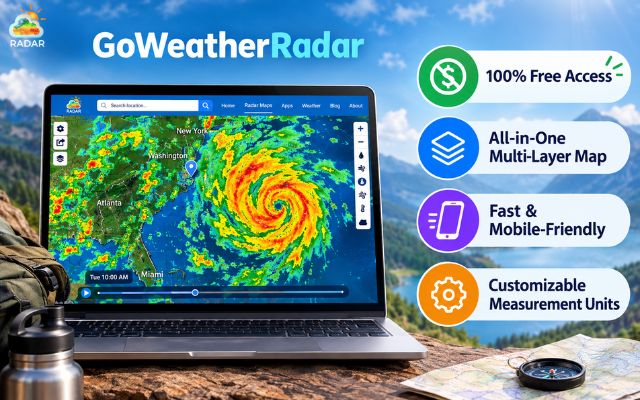
GoWeatherRadar is totally FREE
How to Safely Check Weather Radar on GoWeatherRadar
Monitoring live weather along your trip takes only a few seconds before you pull onto the highway. Here is how to use GoWeatherRadar effectively:
-
Set Your Target Location: Open GoWeatherRadar on your device. Allow location access to center the map automatically, or type your destination or highway route into the top search bar.
-
Select the Precipitation Layer: Tap the map menu and choose the Rain / Precipitation layer to highlight active rain cells, snow squalls, or heavy storm clusters along your route.
-
Check Storm Intensity: Look at the color-coded overlay. Light green indicates light showers, orange or red warns of heavy rain and thunderstorms, and pink or purple signals intense downpours or severe squalls.
-
Drag the Timeline Slider: Use the interactive Timeline Slider at the bottom of the map. Drag it forward or backward to track how storm cells move over time and predict when severe weather will cross your driving route.
-
Switch to Wind or Visibility Layers: If you are driving a high-profile vehicle or traveling in hazardous areas, toggle to the Wind layer to check for strong wind gusts that could affect steering stability.
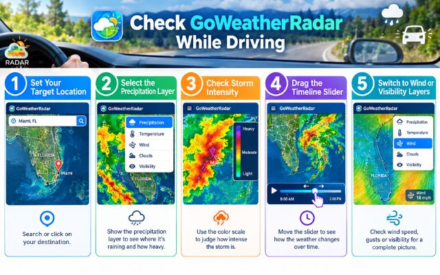
Easily check GoWeatherRadar for safe driving
More like this
Sum up
Using a reliable weather radar for driving is the smartest way to navigate unpredictable storms and reach your destination safely. By tracking real-time precipitation and wind patterns with free tools like GoWeatherRadar, you can plan ahead and dodge hazardous road conditions. Check live radar before your next trip to stay one step ahead of severe weather!


0 Comments
Leave a Comment
Your email address will not be published. Required fields are marked *