Tropical Storm Isaias Strengthens Ahead of Gulf Coast Threat
Tropical Storm Isaias is gaining strength over the Gulf of Mexico as it moves toward the U.S. coastline. The system is expected to become a hurricane before reaching the northern Gulf Coast late Friday or early Saturday. Forecasters are watching for dangerous winds, storm surge, heavy rainfall, and tornadoes across parts of the Southeast. Residents in the projected path should follow the latest weather alerts.
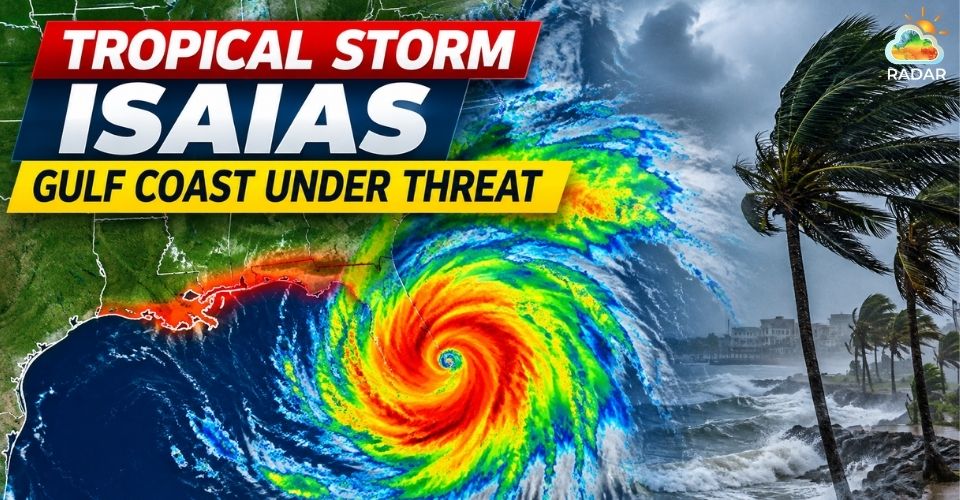
Tropical Storm Isaias is moving toward the US coastline
Tropical Storm Isaias Intensifies as Gulf Coast Landfall Near
Tropical Storm Isaias is strengthening quickly over the Gulf of Mexico.
The National Hurricane Center reported maximum sustained winds of 65 mph Wednesday afternoon, with the storm moving east-northeast at about 8 mph.
Forecasters expect Isaias to turn north and northeast later Thursday and Friday as it approaches the U.S. coast.
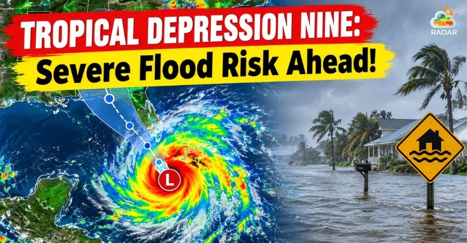
The current forecast points to a landfall along the northern Gulf Coast between southeastern Louisiana and the Florida Panhandle.
The system is expected to reach hurricane strength Thursday, with additional strengthening possible before landfall.
However, the exact track and intensity remain uncertain and could shift as the storm develops.
If Isaias becomes a hurricane on October 8, it would tie the record for the latest first Atlantic hurricane of the season, previously set in 1905.
The unusually late development comes after a relatively quiet start to the 2026 Atlantic hurricane season.
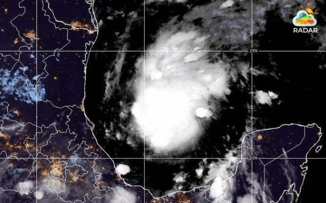
Tropical Storm Isaias is approaching the Gulf Coast (BBC)
Dangerous Rain, Surge and Tornado Threats Expand Inland
The storm's biggest hazards are expected to extend well beyond the point of landfall.
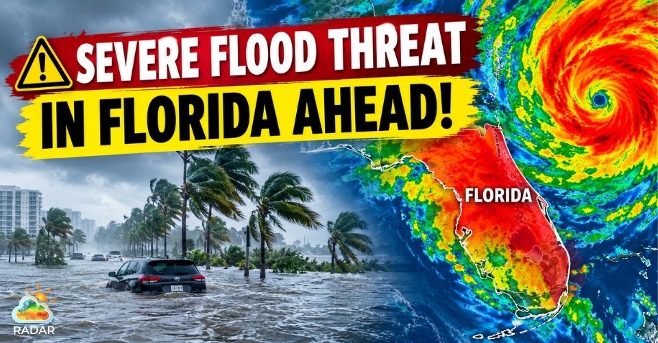
NHC forecasts 3 to 7 inches of rain across parts of the central Gulf Coast from southeastern Louisiana to the Florida Panhandle, with isolated totals reaching 10 inches.
Heavy rainfall could trigger flash flooding, urban flooding and some river flooding.
Storm surge is another major concern.
A Storm Surge Watch covers the area from the mouth of the Mississippi River to Yankeetown, Florida.
NHC estimates that some locations between Ocean Springs, Mississippi, and Indian Pass, Florida, could see 5 to 7 feet of surge above ground if peak water levels coincide with high tide.
Tornado activity could also increase as Isaias' rainbands reach the northeastern Gulf Coast Friday evening and move inland Saturday.
Hurricane-force winds are expected to become another concern closer to the storm's core.
Satellite imagery from NOAA's GOES system is also showing the storm's evolving cloud structure over the Gulf, with imagery updated at regular intervals.
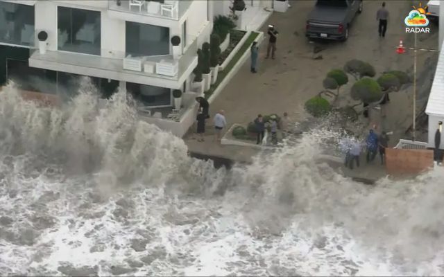
Tropical Storm Isaias is forecast to bring high surge of water
Track the movement of Isaias and approaching rain bands with the live GoWeatherRadar weather radar!
States and Businesses Take Precautions Before the Storm
Gulf Coast communities are already preparing for the approaching system.
Florida and Alabama have declared states of emergency, while local officials are reviewing emergency plans and preparing for possible flooding, strong winds and power outages.
The expected weather is also disrupting local events.
In Gulf Shores, Alabama, officials canceled the National Shrimp Festival as the region prepares for worsening conditions.
Other activities across the Southeast are also being reviewed as the forecast becomes clearer.

Gulf Coast communities are preparing for the upcoming storm
Isaias is affecting offshore energy operations as well.
Shell has evacuated personnel and shut in production at several Gulf of Mexico facilities, while Chevron has begun similar precautionary measures at some of its platforms.
The disruptions highlight the storm's potential impact on the region's energy infrastructure.
Residents should continue monitoring official warnings rather than relying on the forecast track alone.
With landfall still several days away, the storm's exact path may change.
Communities from Louisiana to Florida should remain prepared for updates on wind, rainfall, flooding, and coastal conditions.
References
-
NOAA
-
AP News
-
The New York Times
-
Reuters
-
USA Today



0 Comments
Leave a Comment
Your email address will not be published. Required fields are marked *